New Project Options

Collect and process elevation data into a control map. When starting a new job this is the usual place to start.
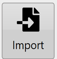
Use an elevation data file from an external source. Various file formats are supported.
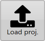
Load an existing T3RRA control file from disk or the cloud.