View
When viewing a map you have a variety of display options.
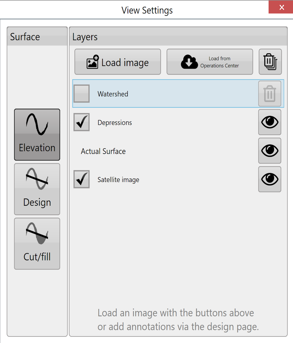
Surface
This refers to the source for the 3D topography and coloring of the map. There are 6 options:
Elevation - This terrain viewing mode shows the map as the original surface prior to any dirt being moved. Displays the map in a Red to Blue gradient scale with Red being low areas and Blue being high areas.
Design - This viewing mode shows the design that has been applied. This is the surface that you are attempting to reach at the end of the dirt moving process. Has the same color scheme as Elevation.
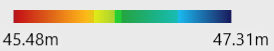
(Legend range is decided by both Elevation and Design surfaces.)
Cut/Fill - Shows where the design will be taking dirt from and where it will be putting it. Coloring of this layer depends on the current Cut/Fill color scheme (Settings > Application).
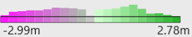
(Cut/Fill legend shows histogram.)
Satellite image - Toggles satellite image background on and off. The eye changes the visibility of the image to link to google earth.
Layers
Various defined layers can be turned on and off here. This includes the current surface (see above), depressions, drains, linework, and overlays such as KML that have been loaded. The buttons at the top allow you to load and clear layers, and beside each layer is a transparency toggle button. Click the button to change its transparency.
NOTE: The depressions layer is not shown if the project only has drains (and no elevation surface).