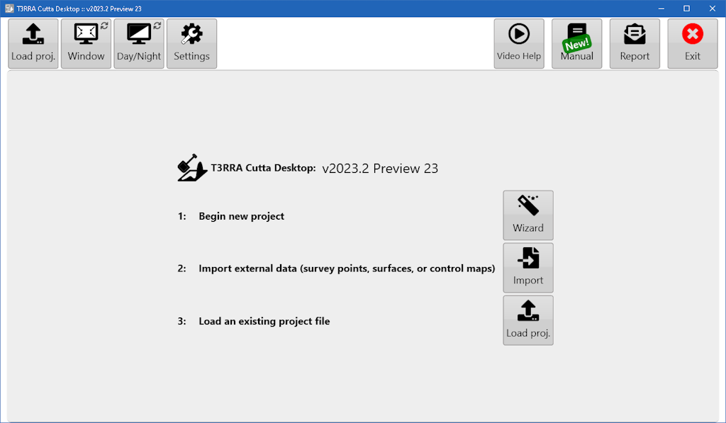
# New Project Options ![](https://docs.t3rra.com/uploads/images/gallery/2025-03/scaled-1680-/1wx1l3e-7dn3zybjfk-wugfmuo84xarkkokmq-png.png) ![](https://docs.t3rra.com/uploads/images/gallery/2025-03/scaled-1680-/jCTfxlk07xpluimzhol0ts4jluubie-puzaog-png.png) Collect and process elevation data into a control map. When starting a new job this is the usual place to start. ![](https://docs.t3rra.com/uploads/images/gallery/2025-03/scaled-1680-/GDvb7bz20a-buxz-ddla-8dqwrwc16cu-9i-w-png.png) Use an elevation data file from an external source. Various file formats are supported. ![](https://docs.t3rra.com/uploads/images/gallery/2025-03/scaled-1680-/w3ni-xd6cuw-hhsvriyta9ar0w84cy9qa8jia-png.png) Load an existing T3RRA control file from disk or the cloud.