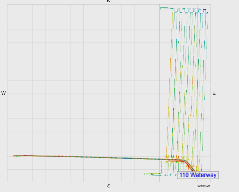
Elevation points not appearing correctly or with voids.
Symptoms:
- When you survey a field or drain and the elevation points are faint with black lines through them causing the survey to appear incorrect or with void like spaces.
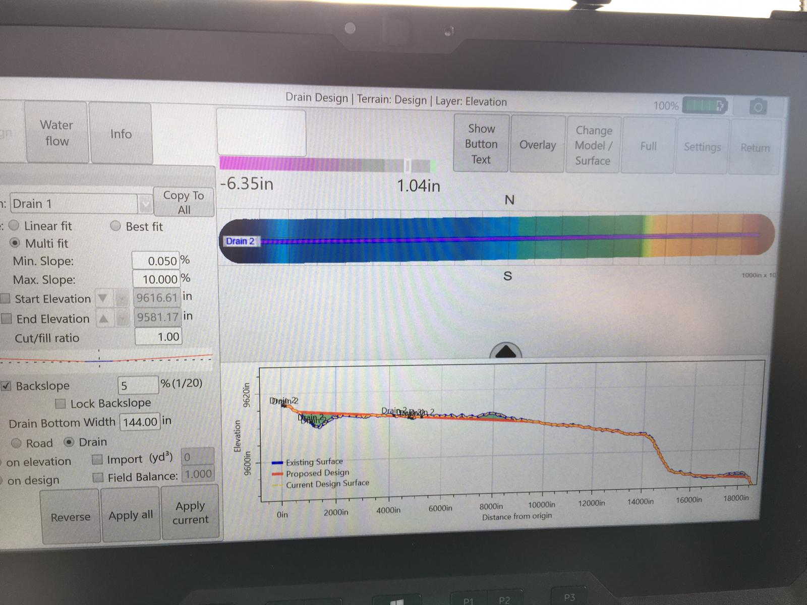
- Your drain profile view shows incorrect names associated with the drain selected.
Cause:
- The elevation points have been recorded using the Boundary mode instead of the field or drain survey modes
- Drain was resurveyed without starting a new project or deleting previous surveys.
Solution:
- Delete the black boundary line using the delete boundary option in the boundary survey mode in the collection screen. After this the elevation points can be used as they normally would.
- Delete the unwanted drain survey elevation data in the collection screen.