Understanding how "Pass Count" works
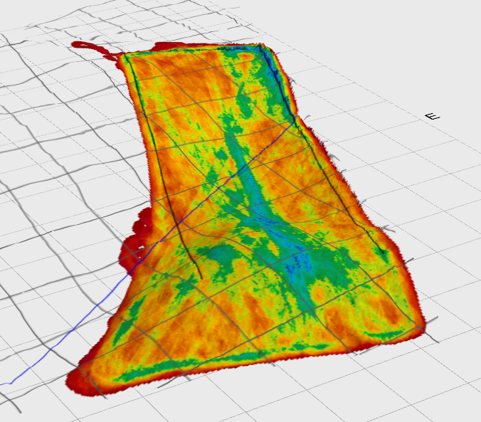
The ‘Pass Count’ map is a representation of where activity has occurred in the field. It is similar to a normal coverage map seen in agricultural applications such as spraying. In a regular coverage map the tractor and implement normally only pass over a location in the field one time. When moving dirt it is common to revisit the same location many times, and equally there may be areas that are never visited.
Each time the implement passes over a point in the field the mapped value in that location increments by one. The end result is a map that shows the intensity of activity in different parts of the field.