Project Tab
Settings made in the project tab will not be represented in a project that is open when the settings are changed.
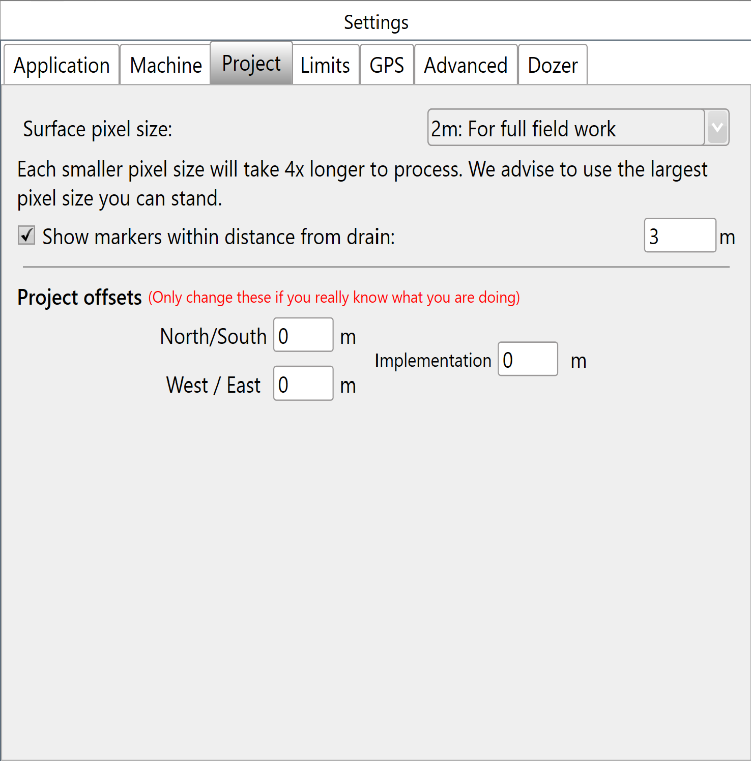
Surface Pixel Size - The default pixel size of 2 meters (~6 feet) should be adequate for most purposes. In some situations, it may make sense to decrease pixel size to 1 meter or even 0.5 meters (primarily to facilitate small interval contour creation, or to get good definition on drain batters/backslopes).
A field surface is represented using a “raster”. This is a grid of elevation heights. The individual cells in this grid are referred to as “pixels” and have a uniform edge size. The smaller the pixel size, the more pixels needed to cover a given area, and the more precise the elevation surface is.
Points of interest
- If pixel size is too large then the field surface will not appear smooth, and short range changes in elevation may not be adequately represented.
- If the pixel size is too small, then the computer will have to work harder to process the data. Dividing the pixel size by two increases the amount of pixels by four.
New Project Defaults will populate for brand new projects. Users can then choose to alter or apply them:
Project offsets
These settings allow for any GPS discrepancies to be accounted for during implementation.
The ‘North/South’ and ‘West/East’ directions to move the map (+ is North, - is South) (+ is West, - is East).
‘Implementation’ is a vertical offset used during implementation only.