Design
It’s an old maxim but a good one. You can do as many designs as you want in T3RRA software before you ever put your tractor into gear. Use our 3D visualization and rainfall simulation tools to carefully examine the effect of any design. Evaluate the volumes of dirt being predicted and ensure that they are within expectations. Catching a design error in the software is much less painful than having to redo many hours of dirt moving.
Remember that computers are fallible. Never blindly follow a design you are given. Critically assess whether the computer output matches what is happening in the real world. It is not a given that it will!
Try to start small with simple designs and little fields. Mistakes, and the lessons learned from them, build your experience and capability - but it is far better to do your learning on small jobs!
If you are in doubt, please seek the advice of a professional irrigation designer or engineer.
The design step is not compulsory and can be skipped if desired. HOWEVER this is not recommended unless you have a specific task where only a copy of the surveyed data is required.
Design capabilities present in different T3RRA software packages
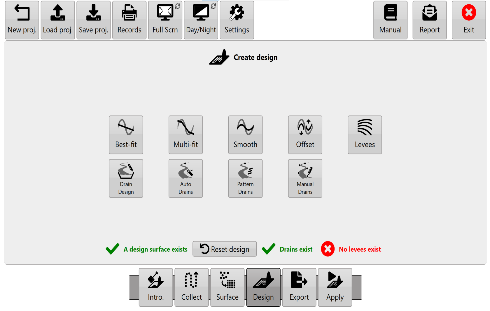
The ‘Create design’ page is presented to you when you advance to the ‘Design’ wizard step. The tools you will see differ based on the specific T3RRA software you are using. This is because each package is aimed at a certain user type and market segment.
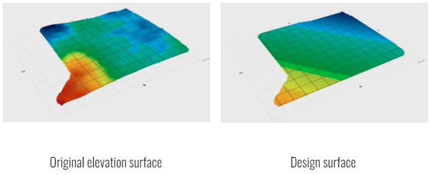
A surfaced elevation map is the starting point for creating a new field design. Determining an optimal terrain design is very specific to the conditions that exist on an individual farm. Cropping practices, existing topography, soil types, costs, available machinery, and many other factors apply. Even if you are not intending to do full field land forming (such as is the case when only creating ditches) we still see great value in fully surveying a field. All of our packages allow you the capability of doing this. All of our design tools show you the surface in 3D and can run a rainfall simulation on it.
In general, the design aims of each package are explained over the next few pages:
T3RRA Cutta provides tools for GPS based land-forming, ditching, and levee creation.

In order to provide solutions that are as broadly applicable as possible T3RRA Cutta includes a variety of design methods:
NOTE: A powerful capability of T3RRA Cutta is the ability to “chain” designs together. As well as performing designs on the original field surface, you can also perform designs on an existing design. For instance, after performing a multi-fit design, you can then go and use the 'Smoothing' tool to smooth the multi-fit design. Use this capability methodically and with care - it is easy to get confused!
T3RRA Ditch provides tools for ditching and levee work
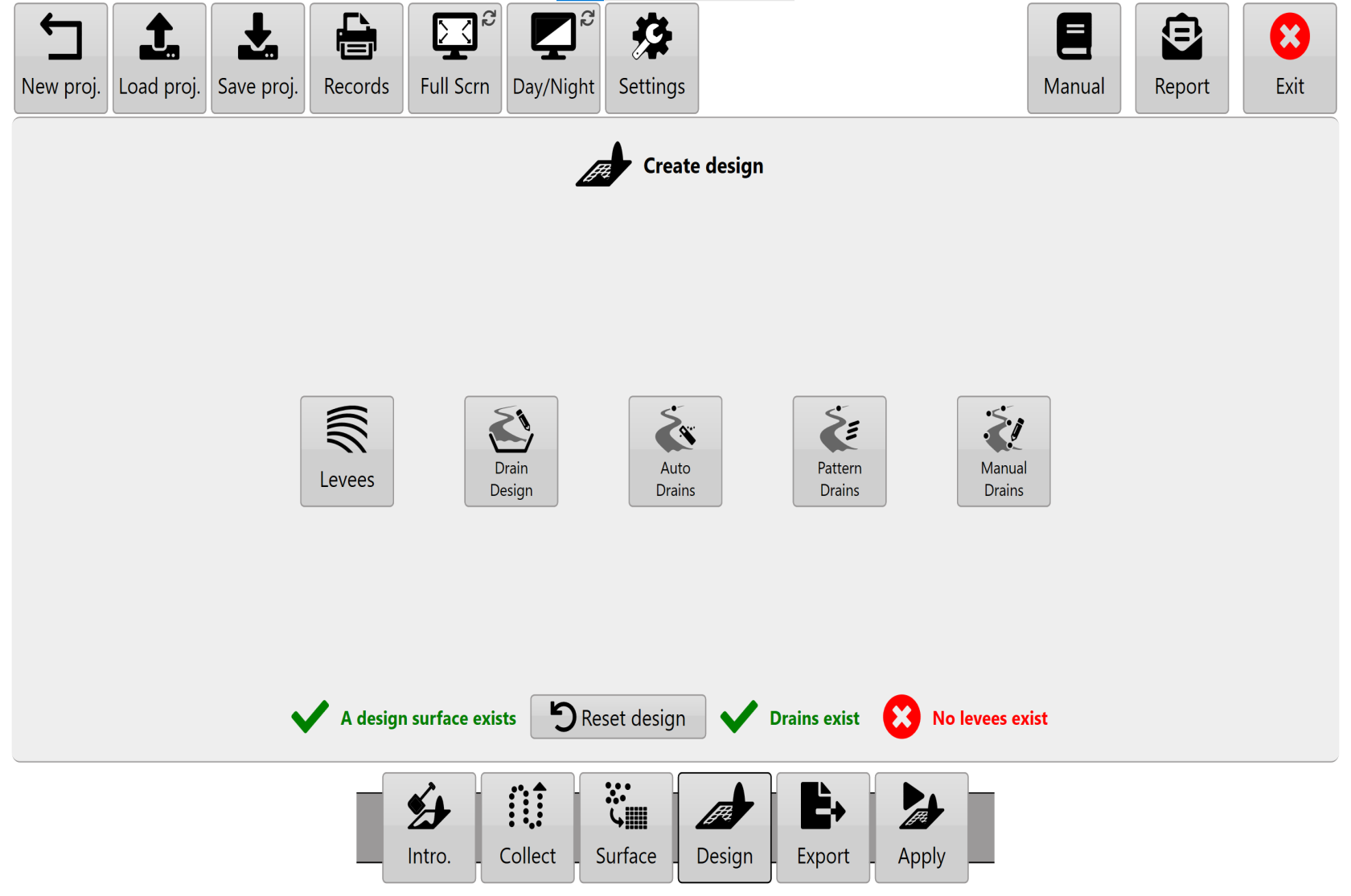
- Drain profile and cross section design
- Automated drain path creation
- Pattern drain design
- Levees (including regions)
- Manual drain design
T3RRA Plane provides tools for laser based levelling and ditches
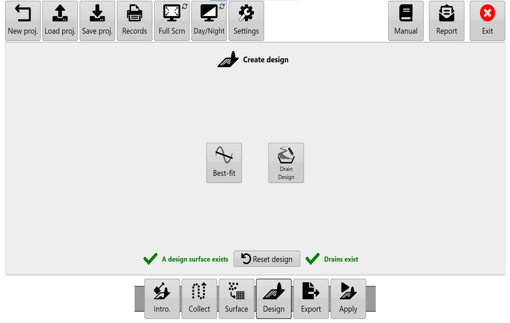
T3RRA Plane can’t do non-linear surface designs. But we wanted to make sure that it can do anything you can do with a laser level.
Design icons.
T3RRA software attempts to divide design functionality into discrete tools.
- Select Best-fit, Multi-fit, Smooth & Offset to design a field surface area.
- Select Auto-Drains or Pattern Drains to place drain paths on the surface.
- Select Drain design to design the profile and cross section of drains.
- Select Levees to add levees to the surface.
NOTE: If you have a drain/field combination to design, always design the field first and the drain second.