
3.3 | Project Tab
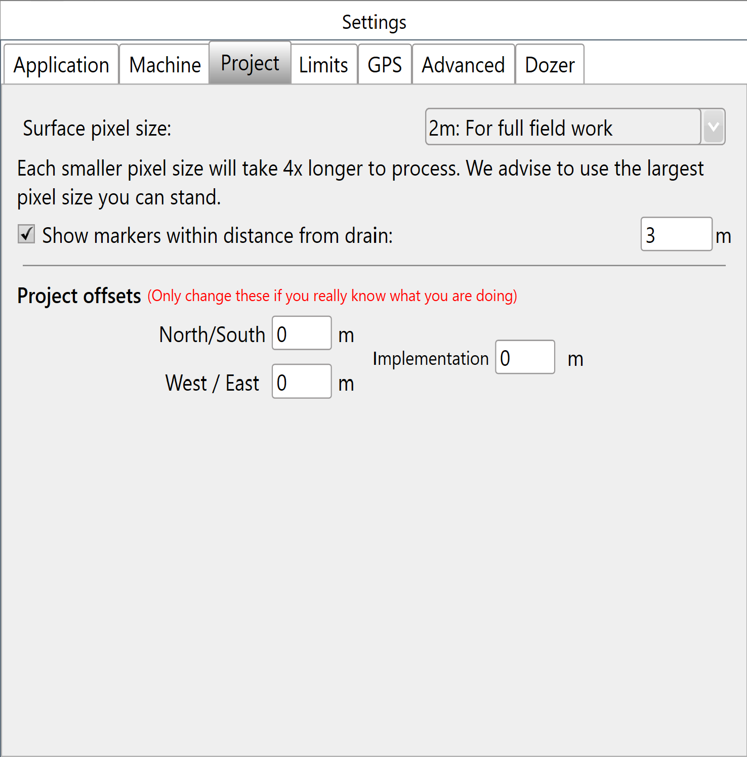
Changes in the Project tab do not apply to a project that is already open when you change the settings.
Surface pixel size
Surface Pixel Size: The default of 2 meters (~6 feet) is adequate for most purposes. Consider 1 meter or 0.5 meters when creating small-interval contours or defining drain batters/backslopes.
A field surface is a raster: a grid of elevation heights. Its cells, called pixels, have a uniform edge size. Smaller pixels provide a more precise elevation surface but require more cells to cover the same area.
Points of interest
- Pixels that are too large make the surface appear less smooth and may inadequately represent short-range elevation changes.
- Pixels that are too small increase the computer's processing workload. Halving the pixel size quadruples the number of pixels.
New project defaults
New Project Defaults populate for brand new projects; users can then alter or apply them.
Project offsets
Project offsets account for GPS discrepancies during implementation.
Use North/South and West/East to move the map: + is North and − is South; + is West and − is East.
Implementation is a vertical offset used only during implementation.