# Best-fit Design
Best-fit calculates the slope and direction of a single plane that best fits a field or region while minimizing the dirt moved.
The plane most accurately fits the existing topography and minimizes dirt movement **for creating a single plane**. This can still mean moving large amounts of dirt.
**Tip:** Divide the field into regions and fit a single plane to each region to help reduce dirt volumes.
Enter the design details to create a plane, or have the T3RRA software calculate them automatically.
## Setting slope parameters
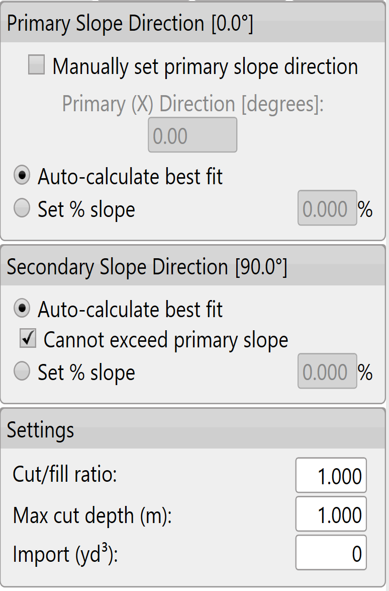
The software attempts to find the most appropriate line of best fit. You can also set the primary and secondary slopes manually.
Manual settings are recommended only for users with a good understanding of Laser Plane systems.
To set the primary slope direction manually, select the checkbox labeled **Manually set primary slope direction**.
When in doubt, consult an irrigation engineer.
## Cut/fill ratio, Max cut depth, and Import
These settings are available in two locations. Defaults applied to new projects can be set in the **Project** tab of settings (see section B), or in the lower left corner of the **Best-Fit** (and **Multi-Fit**) page.
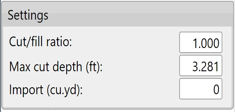
The **Cut/fill ratio** depends on soil characteristics: the material being moved and how much it will “settle” or “shrink” when compacted.
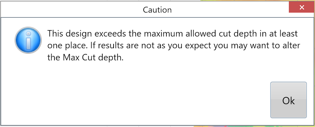
Enter **Max cut** as the maximum allowed cut depth. If any points on the map exceed this depth, the warning shown below appears. Adjustments may be required.
Use **Import** to bring dirt in from a stockpile or export dirt from the field to another area. Enter a **negative value for exporting**.